France · virtual cycling route
Ride Alpe d’Huez Indoors
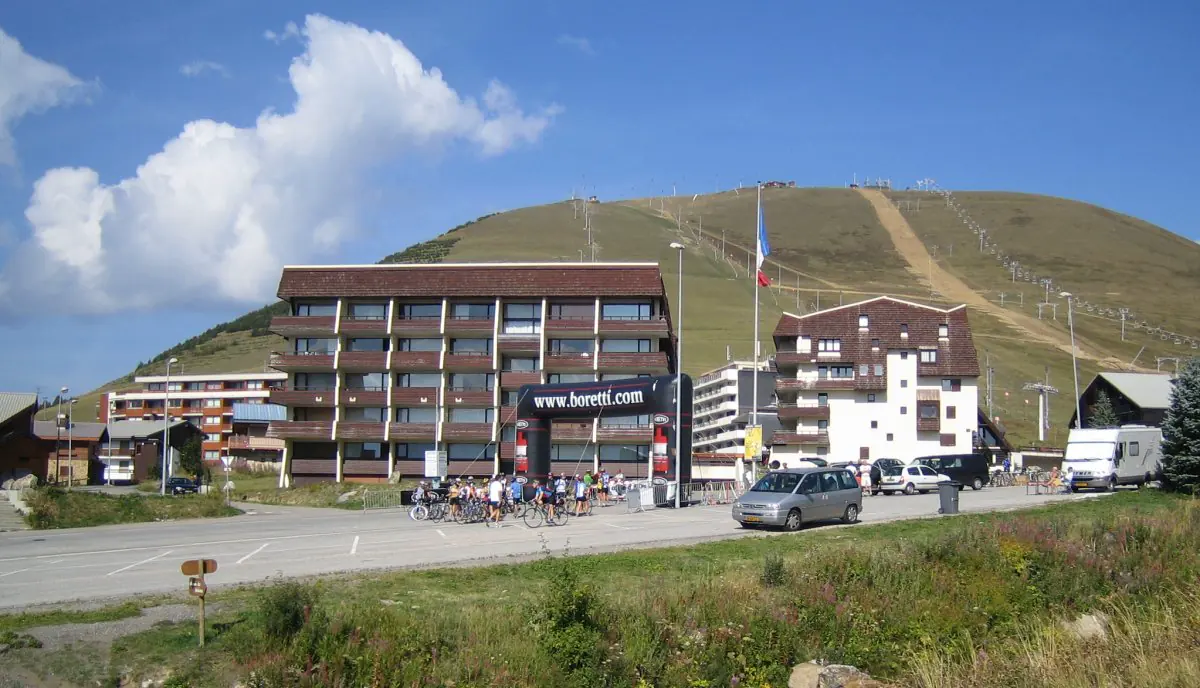
From Bourg-d’Oisans, road gains height immediately and winds through 21 numbered bends. Each bend carries name of Tour de France stage winner, making climb easy to divide into visual checkpoints.
- Distance
- 13.8 km
- Elevation
- about 1,070 m gain
- Difficulty
- Very hard
Outdoor climb figures are rounded reference profiles. Exact VirtualRide distance depends on selected endpoints and available Street View path.
Route character and pacing
Opening kilometres are among hardest. Avoid starting above target pace; settle after first bends, then reassess near Huez village. Outdoor profile averages roughly 8%, with steeper ramps.
Landmarks to watch for
Numbered bends count down toward resort. La Garde appears after steep opening, Huez village marks later transition, and final urban kilometres differ from iconic open switchbacks below.
Indoor session idea
Treat first four bends as controlled threshold, recover slightly where grade eases, then build effort after Huez. A shorter workout can end at village; full route suits roughly hour-long climbing test after warm-up.
Street View setup
Choose Bourg-d’Oisans as start and Alpe d’Huez as finish, or use quick start. Town junctions near top may create imagery jumps, so route preview helps.