France · virtual cycling route
Ride Col du Tourmalet Indoors
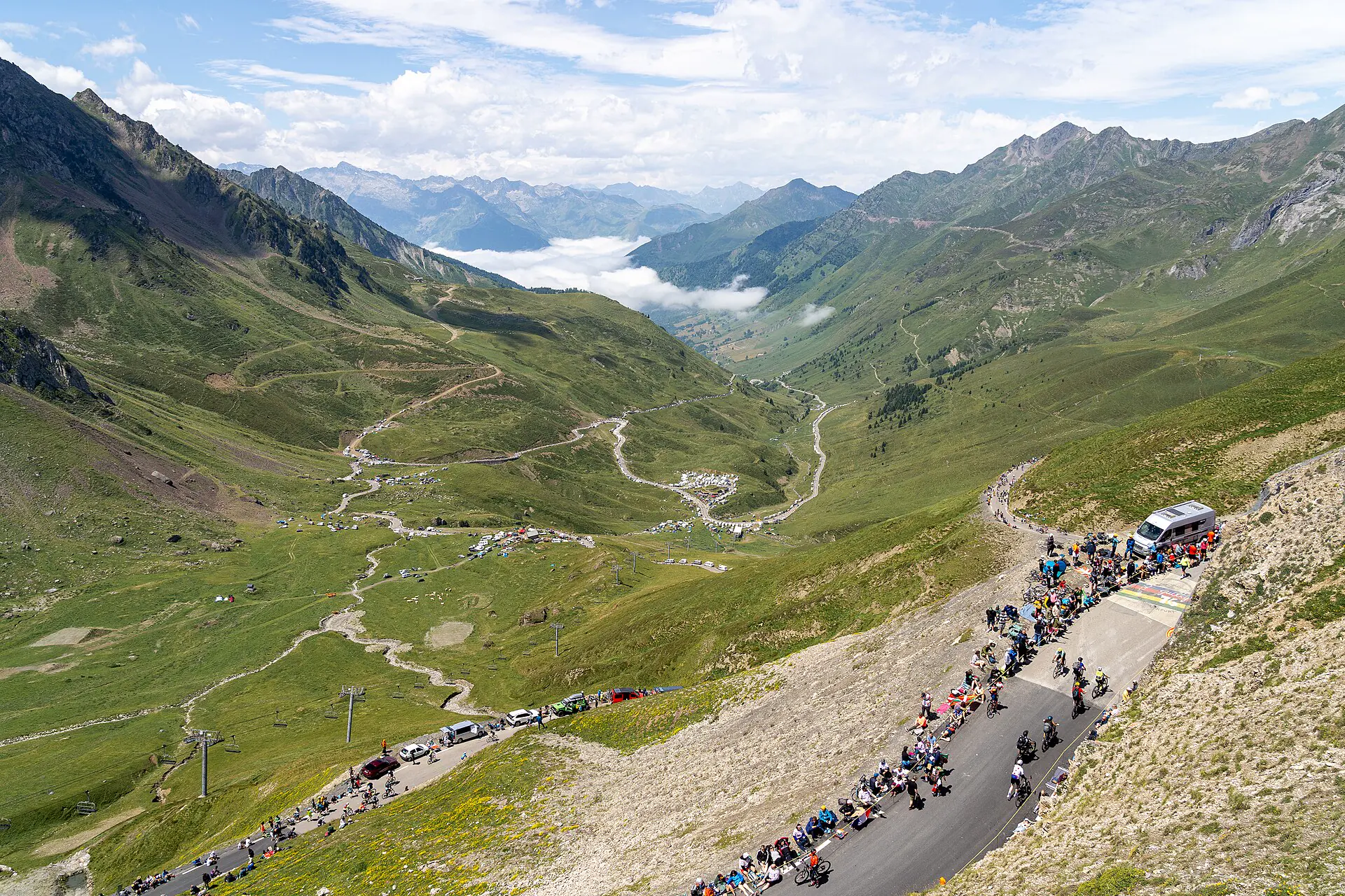
Western Tourmalet approach rises through Barèges toward broad high-mountain summit. Tour de France history is everywhere, but route itself is straightforward: sustained climbing with little flat ground.
- Distance
- about 19 km from Luz-Saint-Sauveur
- Elevation
- about 1,400 m gain
- Difficulty
- Very hard
Outdoor climb figures are rounded reference profiles. Exact VirtualRide distance depends on selected endpoints and available Street View path.
Route character and pacing
Average grade sits near 7.4%. Lower valley lets you establish rhythm before exposed upper road. Keep early effort controlled and reserve gear for final ramps near summit.
Landmarks to watch for
Spa town Barèges breaks lower approach, ski lifts appear near Tournaboup, and open upper slopes lead to giant cyclist statue near summit. Pic du Midi dominates skyline in clear imagery.
Indoor session idea
Split climb into three blocks: steady valley, tempo through ski area, then strongest sustainable effort on exposed finale. If time is short, start at Barèges and keep summit as fixed finish.
Street View setup
Use Luz-Saint-Sauveur and Col du Tourmalet as endpoints or choose quick start. High pass may have seasonal imagery gaps; preview before long session.